Planning
Voyage Briefing — your trip at a glance
Draw your route on the map and see legs, distance, duration and arrival (ETA) — with weather, tides, currents and daylight for every leg.
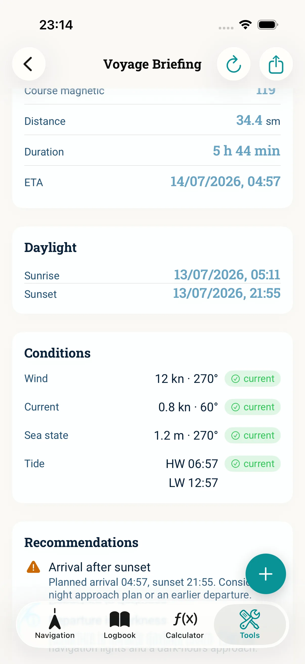
The full picture before you cast off
Course, distance, arrival time, tidal windows, sunset — before departure you want it all at a glance instead of across ten apps. Voyage Briefing bundles trip planning into one overview, offline-first and without data harvesting.
Planned from start to finish
- ·Draw your route right on the map — start, stopovers and destination
- ·Leg overview with distance, duration and a continuous ETA chain
- ·Weather, wind, tides, currents and daylight for every leg
- ·Safety hints: arrival after sunset, departure in darkness, reefing advice in strong winds
- ·Warning when weather data is outdated — export the briefing as PDF
- ·Optionally in plain language: a readable paragraph on how wind, sea state, current, tide and daylight hours work together — the AI only phrases it, it does not calculate
- ·“Source” picker: cruising speed, onboard instruments or the polar diagram as the basis for the ETA
Planned offline-first
Course, distance, ETA, sunrise and sunset and tidal windows are calculated on the device, even without a signal. Live weather is added through your own API keys.
A support tool
Voyage Briefing supports your trip planning — it does not replace official charts, the weather forecast or your own local knowledge.
Frequently asked questions
No for course, distance, ETA, daylight and tidal windows — those are calculated offline. Live weather needs your own weather API key.
Yes. Add stopovers on the map and the briefing lays out the legs with a continuous ETA chain.
It sums up your briefing in one readable paragraph. With your own Anthropic key (BYOK) the text is phrased fluently; without a key you get a compact offline summary. The AI only phrases it — your calculations stay local and verifiable, and no new recommendations are invented.
Related topics
Cast off better prepared
One-time purchase