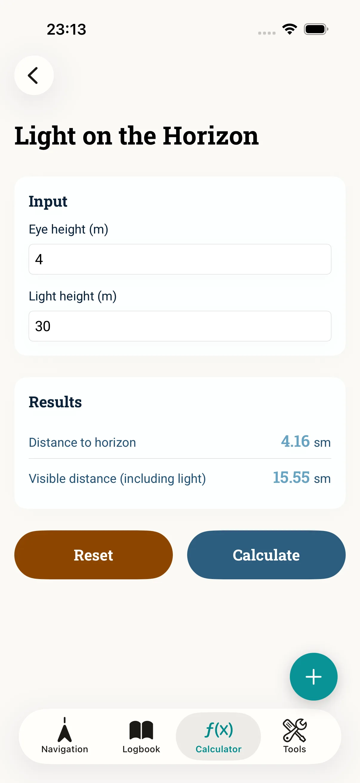
When does a light rise above the horizon? That depends on the light height and your eye height. NauticCalc turns this into the geographic visibility and the dip — useful for coastal approach at night. This guide shows the inputs, the result and the limits of the method.
Prerequisites
- Light height from the chart or the list of lights (m)
- Your eye height on board (m)
- Clarity: the geographic visibility is not the nominal range (luminous intensity) of the light
Step 1: Open the calculator
Open Light on the horizon in NauticCalc. The calculator works offline and needs only two heights.
Step 2: Enter the inputs
Enter eye height and light height. The app computes the visibility (the distance from which the light stands geometrically above the horizon) and the dip. Measure your eye height realistically — different in the cockpit than on the flybridge.
Step 3: Use it for navigation
Use the result for the coastal approach: if you sight the light earlier or later than calculated, that is a clue to refraction, height or position. It does not replace radar/AIS or official publications.
Step 4: Into the full flow
Combine the result with Variation and Course correction to bring bearing and course together.
Common mistakes
- Confusing geographic visibility with the range (luminous intensity) of the light
- Estimating eye height too high or too low
- Ignoring refraction in unusual weather conditions
- Seeing the result as a replacement for radar/AIS
Read next: Light on the horizon feature · Course correction